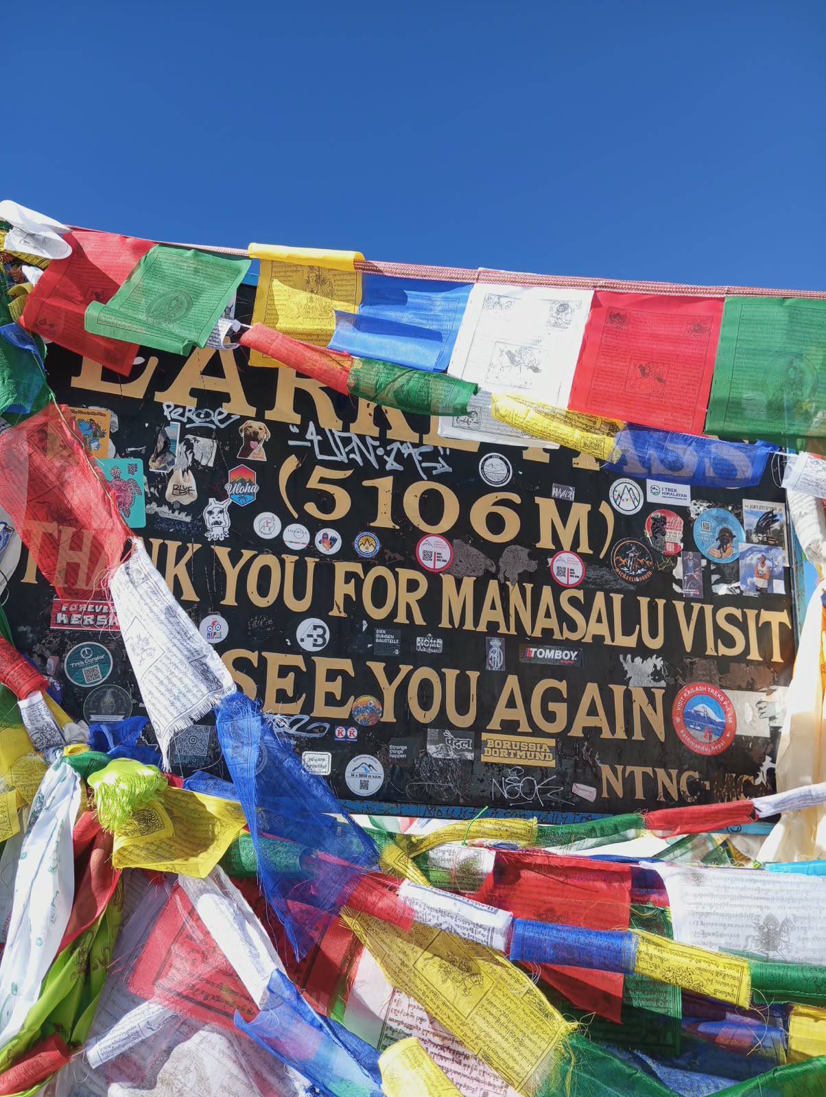
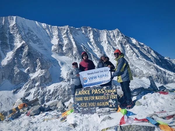
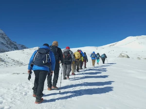
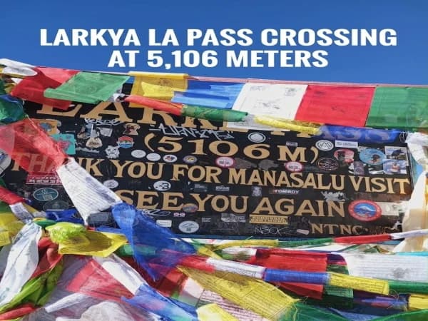
The Larke La Pass (or sometimes called the Larkya La Pass) is a high altitude mountain pass located in the Himalayas. The pass rises to 5,106m (16,752ft) and lies between the area of Manaslu (in Gorkha District) and Bimthang Valley (Manang District), Nepal. This is the highest point on the Manaslu Circuit Trek. We drive from Kathmandu to Machhakhola and follow the Budhi Gandaki River to Samgaun, Samdo. We’ll travel through thick forest, beautiful suspension bridges, villages and up into the upper Nubri Valley. As we progress we will start to see open valleys, rugged mountains and glaciers. On day 8 of our 14 day programme we will spend one day acclimatising in Samagaun.
We then travel to Samdo and Dharamsala. On day 11 we will cross the Larkya La Pass and descend to Bhimthang (3,590m). The following day we travel to Dharapani. The pass usually requires no technical skills to cross; however, it needs lots of endurance. There are long uphill approaches, low oxygen, very cold early morning temperatures, and steep downhill hike after reaching the pass. This guide covers the entire route, from where to cross, historical routes, elevation, weather, accommodation, mountain views, preparation, and how to cross Larke La in an emergency.
The Larke La trail runs through the north of the Gandaki Province and connects the Manaslu area of Gorkha District to the east of the Manang District. The eastern access point passes through the Nubri area, where trekkers come across settlements with Tibetan influence like Samagaun and Samdo. Post Samdo, there is open terrain as the path leads into the mountains toward Dharamsala.
On the west side, the trail drops down into the valley of Bhimthang and then joins the Annapurna Trekking Trail at Dharapani. Despite the fact that the Manaslu area is close to the Tibetan border, the Larke La is not a border crossing point.
Exact Geographical Location of Larke La Pass
Location details
Information
Country
Nepal
Province
Gandaki Province
District corridor
Gorkha and Manang
Approximate coordinates
28.67° N, 84.53° E
Eastern approach
Chumnubri region, Gorkha
Western approach
Bhimthang Valley, Manang
Eastern river system
Budhi Gandaki River
Western river system
Dudh Khola–Marsyangdi River
Nearest eastern accommodation
Dharamsala / Larkya Phedi
Nearest western accommodation
Bhimthang
Protected areas along the circuit
Manaslu and Annapurna conservation areas
The coordinates show a general position of the pass, not an indicator of a survey-grade navigation point of interest. The marker may be located slightly differently on various trekking maps.
Larke La Pass Map and Its Position on the Manaslu Circuit
We follow the traditional anti-clockwise route around Manaslu. This means we can slowly ascend to Gorkha, then head from east to west around Manaslu before heading back to Manang. The location of the pass is very important as there are no permanent settlements between Dharamsala and Bhimthang. This means that once we have left our accommodation on the day we do the pass, we will be in a remote alpine environment with very few facilities.
The Larke La Pass is 5106 meters (16752ft) above sea level. This will be the height we use throughout our Manaslu Circuit Trek. Some trekking maps and route guides list the height of the pass as 5160 meters. Some list it as 5167 meters. There may be slight differences in the location of the pass, measurements from surveys and GPS locations. You don’t need to swap between heights.
Larke La Pass Altitude and Elevation Profile
Location
Altitude
Net elevation change
Kathmandu
1,400 m
-
Machhakhola
900 m
-500 m
Jagat
1,340 m
+440 m
Deng
1,860 m
+520 m
Namrung
2,630 m
+770 m
Lho Gaun
3,180 m
+550 m
Samagaun
3,530 m
+350 m
Samdo
3,860 m
+330 m
Dharamsala
4,460 m
+600 m
Larkya La Pass
5,106 m
+646 m
Bhimthang
3,590 m
-1,516 m
Dharapani
1,860 m
-1,730 m
The graph above shows the difference between the places you will stay overnight and the pass. When the height increases and decreases between the two villages, there will be more uphill/downhill walking.
How Much Oxygen Is Available at Larke La Pass?
At 5106 metres, there is only 53% of the usual air pressure. The amount of oxygen in the air will always be 20.9%, but due to the lower air pressure, there will be less oxygen being taken in each breath. Trekking at this height can cause issues with breathing even when moving at an average pace. It will take a while to get used to, and being fit does not guarantee there will be no issues with the high altitude. Another figure to consider is the saturation of oxygen in your blood. It will not automatically drop to 53% because there is half the usual air pressure.
Larke La Pass History: Ancient Trade Routes, Tibetan Connections and the Meaning of Its Name
The upper Manaslu Valley has been an important part of the Himalayan trade route for many years. Different valley communities trade produce, including agricultural goods, livestock, wool, salt and more, throughout the trade routes linking Nepal and Tibet. The Larke La is significant as it links Manang and the settlements in the upper Budhi Gandaki Valley.
The Historical Larke Bazaar
In a study by IUCN in 1995 looking at tourism in the Manaslu area, there is mention of a trading post called Larke Bazaar (or Larke Babu). Traders coming from the south of Nepal brought goods such as rice, pulses, tobacco, etc. Traders from Tibet brought salt, wool, sheep skins and animal products. Those going to Manang were also part of this large trading community across the mountain pass. Mining for Copper was also done in the area around Larke Bazaar up until the middle of the twentieth century.
Due to political changes in Tibet, this location has no longer held much economic importance since the 1950s, and the surrounding land has slowly turned into pasture land. The trekkers now trekking from Samdo to Dharamsala pass through this location.
What Does the Name Larke La Mean?
The term ‘La’ translates to mountain pass in Tibetan and other languages used in Himalayan regions. The term Larke is also known by different variations such as Larkya and Larkye. There is no definite historical meaning assigned to this name, as it can be misleading without an authentic source for linguistic understanding. Prayer flags and stone markings found at the crossing point reflect the religious cultural significance of the area. Religious symbols found in the valley include mani walls, chortens, monasteries and gateways of villages.
Why Is Dharamsala Called Larkya Phedi?
The word “Phedi” translates to the base of the mountain or hill. Larkya Phedi stands for the point of halt at the base of the mountain or hill crossing. Historically, basic huts have been used as resting places while moving through this remote area. Trekking facilities used today at the crossing serve the same purpose of providing a resting place for meals, shelter and preparations for crossing the mountain range. This is why Dharamsala is still called a seasonal halt area instead of a residential area.
How Do You Reach Larke La Pass From Kathmandu?
Fly to Kathmandu and drive to Machhakhola. Walk through the lower areas of the Budhi Gandaki Valley until arriving at high mountainous terrain. This trek has been planned to allow you to spend one night in each village (Namrung, Lho Gaun and Samagaun). There is also an extra day of rest in Samagaun. You will then continue to Samdo and Dharamsala.
Our Complete 14-Day Larke La Pass Itinerary
Day
Route
Elevation
Activity
01
Arrival in Kathmandu and transfer to hotel
1,400 m
Drive
02
Kathmandu to Machhakhola
900 m
Drive
03
Machhakhola to Jagat
1,340 m
Hike
04
Jagat to Deng
1,860 m
Hike
05
Deng to Namrung
2,630 m
Hike
06
Namrung to Lho Gaun
3,180 m
Hike
07
Lho Gaun to Samagaun
3,530 m
Hike
08
Rest and acclimatization in Samagaun
3,530 m
Rest day
09
Samagaun to Samdo
3,860 m
Hike
10
Samdo to Dharamsala
4,460 m
Hike
11
Dharamsala to Larkya La Pass (5,106 m), then Bhimthang
3,590 m
Hike
12
Bhimthang to Dharapani
1,860 m
Hike
13
Dharapani to Kathmandu
1,400 m
Drive
14
Kathmandu departure and airport transfer
1,400 m
Drive
How Does the Journey Progress Before Reaching the Pass?
Days 3, 4 and 5 are trekking days. We walk across river valleys, mountain forests and small villages. There are some fantastic suspension bridges, in addition to some tough trails and changes in vegetation. On day 6 we reach Lho Gaun. This is a great place to take in some spectacular mountain views. On day 7, we continue trekking higher up the valley to Samagaun via Shyala. On day 8, we will take some time to acclimatise. There are plenty of walks available around Samagaun depending on the weather and fitness of those trekking.
On day 9 we will reach Samdo. Day 10 will see us arrive at Dharamsala. Both of these nights will be our last overnight stop before heading up to Larkya La Pass on day 11. On day 12, we head down into Bhimthang and have a steep descent into Dharapani. On day 13, we will drive back to Kathmandu. For more information on this package, please see our Manaslu Circuit Trek 14 Days.
Samagaun to Larke La Pass: Distance, Trekking Stages and Acclimatization
Samagaun is the primary acclimatization point in the 14-day schedule. Having stayed two nights at the place, we make our way to the Larkya La through Samdo and Dharamsala, traveling roughly 20–25 kilometers. It does not include one uninterrupted climb. Every leg requires its own profile and effort.
Distance and Walking Time From Samagaun to Bhimthang
Day
Trekking section
Approximate distance
Walking time
09
Samagaun to Samdo
7 - 8 km
3 - 4 hours
10
Samdo to Dharamsala
5 - 7 km
3 - 5 hours
11
Dharamsala to Larkya La
7 - 9 km
4 - 6 hours
11
Larkya La to Bhimthang
Approximately 9 - 12 km
4 - 6 hours
Distances are only planning approximations. Trail lengths published vary a lot depending on the GPS track, accommodation location and route variations.
Day 08: Acclimatization in Samagaun (3,530 m)
During today's trek, we get acclimatized to the higher altitude before moving further into the upper valley. Those trekkers who feel fine may explore the village, visit Birendra Lake, hike towards Pungyen Gompa, or try the longer trek to Manaslu Base Camp.
Each of you can decide what to do according to your feelings. Trekking to Manaslu Base Camp requires quite a tough climb and shouldn't be considered an obligatory preparatory trek before Larkya La. Read more about Samagaun village and acclimatization treks in our guide.
Day 09: Samagaun to Samdo (3,860 m)
We continue trekking from Samagaun and move along the upper valley of the Budhi Gandaki River through pastures and slopes. The trekking trail is quite flat except for the steeper climb towards Samdo.
Samdo is a much smaller village than Samagaun, with few opportunities to spend the night there or to buy some things. This is one of the shortest trekking days before climbing to Dharamsala.
Day 10: Samdo to Dharamsala (4,460 m)
The trek continues its journey away from the inhabited valley into the gradually barer alpine region. We walk through pastures used for seasonal grazing, streams, rocky stretches, and surroundings of the Larke trading post. Total gain in altitude is 600 meters. Though not among the longest walking days, the gain in sleeping altitude makes it a significant one. We usually reach Dharamsala in the afternoon, which allows us enough time for our evening meal and preparation of equipment before discussing the next day's crossing.
Day 11: Dharamsala to Larkya La Pass and Bhimthang
Today is the day of our crossing. We begin the day early and cross the glacier to gain Larkya La and then descend to Bhimthang for the night. The maximum altitude for the day is 5106m but our sleeping altitude is only 3590m. This means we are sleeping at a much lower altitude which is an important feature of this trip.
What Is It Like to Spend the Night Before Crossing Larke La Pass at Dharamsala?
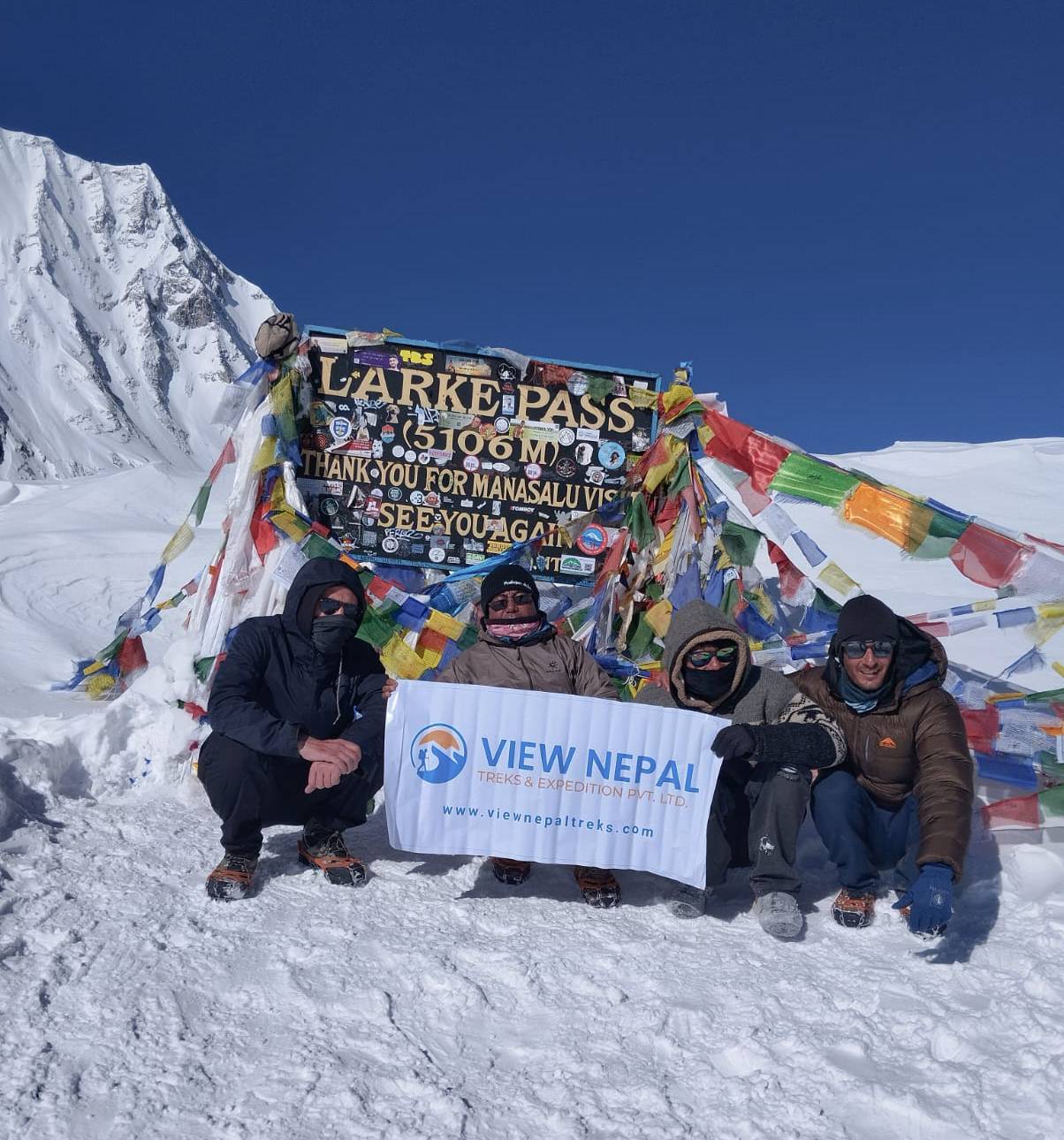
larke la Pass Spring 2026 March Group With View Nepal Treks
Dharamsala (Larkya Phedi) is the final proper overnight place. This is much smaller than Samagaun and Samdo. A seasonal lodge is set up to accommodate trekkers on the mountain before they cross the pass. Basic facilities are available, but it can get very cold at night. Make sure you have everything you need for the next day, as there aren’t many places to purchase/rent equipment.
Accommodation and Facilities at Dharamsala
Facility
What to expect
Accommodation
Basic lodge rooms and seasonal accommodation arrangements
Bedrooms
Limited capacity; rooms may be shared or unheated
Meals
Dal bhat, noodles, rice, soup, and simple breakfasts
Drinking water
Lodge supply; confirm treatment and refill arrangements
Toilets
Basic shared facilities
Heating
Limited
Hot shower
Not guaranteed
Electricity and charging
Limited or unavailable
Internet
Unreliable
Equipment shops
Do not depend on local availability
Lodge space depends on the season. Check with your guide how many people will be sleeping there before you leave Samdo, especially if you are leaving in the busy spring or autumn months.
What Should You Do the Evening Before the Crossing?
Pack a breakfast and packed lunch for the lodge.
Ensure you know what time you are leaving in the morning and check the weather.
Ensure you have filled your water bottles and, if possible, have some hot water.
Pack your day pack the night before.
Ensure you have everything you need: headlamps, extra batteries, gloves and traction aids.
Have some dry socks, shoes and warm clothing.
Inform your guide if you feel any headaches, sickness, tiredness or difficulty breathing.
You will not be going up to higher altitudes, so there is no point. Once descending from Samdo, it is best to save your energy.
Dharamsala to Larke La Pass to Bhimthang: An Hour-by-Hour Crossing Guide
Our itinerary for the Manaslu Circuit tour includes Day 11 as the toughest high-altitude trekking day ever. The trail involves approximately 646 meters of climbing to the pass and then 1,516 meters downhill to Bhimthang. The distances might be different according to published information; however, trekkers need to get ready for a long walk of about 16–24 km that takes about 8 - 12 hours.
Example Larkya La Crossing-Day Schedule
Time
Stage
What happens
3:30 AM
Wake up
Get dressed and complete equipment checks
4:00 AM
Breakfast
Eat warm food and fill drinking bottles
4:30 AM
Leave Dharamsala
Begin walking with headlamps
6:00 AM
Upper approach
Walk across rocky slopes as daylight appears
7:30 AM
Glacial terrain
Continue through moraine and alpine lakes
9:00 - 10:30 AM
Reach Larkya La
Brief rest, mountain views, and photographs
10:00 - 11:00 AM
Begin descent
Enter the steeper western trail
12:00 - 1:30 PM
Lower descent
Food and hydration break
2:00 - 4:30 PM
Reach Bhimthang
Check into accommodation and recover
This is only an example schedule; we do not provide exact departure/arrival times here. It will depend on your pace of walking, daylight, weather conditions, etc.
The First Section: Walking From Dharamsala in Darkness
When departing from Dharamsala before dawn, the surrounding mountain range looks like dark silhouettes. The trail is lit by headlights from time to time, with loose rocks and frozen ground becoming illuminated.
The atmosphere is noticeably colder compared to when trekking in the latter part of the day. The trekkers tend to wear more layers of clothes at the beginning but peel off their insulation when warming up.
At the beginning, it is important not to rush and to maintain the rhythm because trying to catch up with other groups leads to unnecessary exhaustion before reaching the steeper areas.
The Middle Section: Glacial Moraines and Alpine Lakes
However, as you start to ascend, we will notice that the trail can be a bit icy. We will be walking over a landscape made up of gravel, large stones, moraine and small lakes formed by the glacier. Moraine means stones and debris left behind when the glacier has moved. You get an uneven trail here. There are also some lakes that could be partly frozen and there might be some snow on parts of the trail.
Overall it is by no means a quick climb up. The top section of the Larkya La Trail can take some time to get to due to the terrain and increased height.
The Final Approach to Larkya La Pass
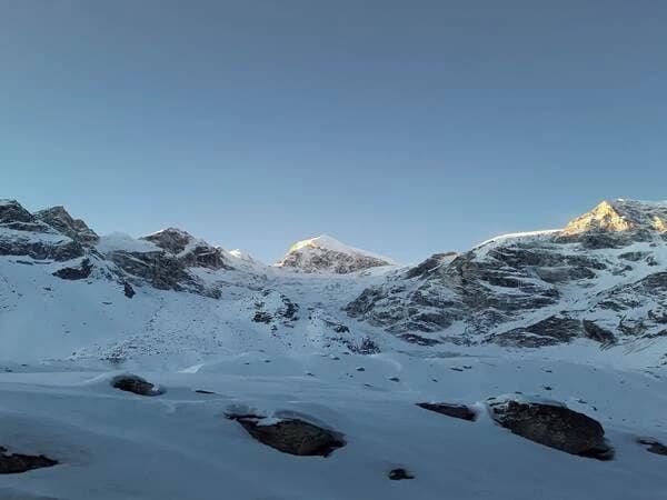
Final section to the stone cairns and prayer flags marking the pass. Breathing will be quite heavy, so you may need to move at a slower pace on the short ascents. On a clear day, you will start to get some great views of the mountains around Manang and the Annapurna region.
Once you reach the top of the pass, you can stop for a few pictures, to enjoy the view and have a little snack. How long you spend here depends on the weather, temperature, how clear the visibility is and how far you have to go. Make sure your boots are tied correctly, trekking poles are ready, and any devices your guide recommends for grip are on.
The Western Descent to Bhimthang
The descent is no easy affair. There are steep descents down rocky paths that are slippery with loose rocks and possibly covered with snow as well. This is the point at which many hikers start to feel the fatigue of the morning accumulating within them. Their knees and thighs are constantly at work controlling the descent.
Soon, we arrive at the glacial valley, which is wider in comparison to the previous one. The trek towards Bhimthang is easier now, but even this trek will become tiring after some hours of walking. We will be staying overnight in Bhimthang, at an altitude of 3,590 meters.
What Does the Larke La Pass Trail Look Like?
There are also noticeable differences along the path from its eastern ascent to the western descent. This accounts for why having experience with dry-weather hiking does not necessarily help one navigate the same path when it snows.
Trail section
Main terrain
What to watch for
Dharamsala departure
Rocky earth paths
Darkness, frost, and uneven footing
Upper approach
Glacial moraine and gravel
Loose rocks and changing gradients
Alpine lake section
Rocky ridges and seasonal snow
Unstable ground and frozen surfaces
Final ascent
Exposed rock, gravel, or snow
Wind, altitude, and visibility
Western descent
Steep scree and rocky switchbacks
Slipping, fatigue, and knee strain
Bhimthang approach
Broader valley trails
Tiredness and remaining walking distance
While the conditions during good fall weather mean that large portions of the path are dry, the exact same path after the winter snow will have icy surfaces, hidden rocks, and increased complexity in navigation. One should never take anything for granted since a trail could have changed during the night. Microspikes would come in handy for an icy path, but depending on circumstances, other gear might be needed.
Larke La Pass Weather and Temperature: Monthly Conditions and Best Time to Visit
There is a great difference in weather throughout the year at Larke La. Due to its height above 5,000 meters, the area experiences cooler weather than the lower areas. The important considerations include snow, wind, visibility, and cold weather. The weather will also influence the accommodation options and access to the lower trekking trails.
Larke La Pass Temperature by Month
No definitive temperature ranges have been recorded for the specific area of this pass in this guide. The below range estimates are for clothing and travel planning purposes only.
Month
Indicative crossing temperatures
Expected conditions
January
-25°C to -10°C
Severe winter cold and snow
February
-22°C to -8°C
Persistent snow and freezing conditions
March
-15°C to 0°C
Remaining winter snow
April
-12°C to 3°C
Cold mornings and improving conditions
May
-8°C to 7°C
Warmer days and increasing cloud
June
-6°C to 7°C
Developing monsoon
July
-5°C to 8°C
Cloud, precipitation, and reduced visibility
August
-5°C to 8°C
Continued monsoon influence
September
-10°C to 5°C
Transition toward autumn
October
-15°C to 3°C
Generally clearer weather
November
-18°C to 0°C
Increasing cold and snowfall risk
December
-22°C to -5°C
Winter conditions developing
Spring Weather: March, April and May
March: Snowfall in winter may stay at higher elevations and western slopes.
April: Better temperatures and more daylight offer good conditions for trekking.
May: Warm weather is present, but afternoon clouds and pre-monsoon rains are expected.
April and early May can be considered the best months for spring treks. Checking the snow conditions is necessary prior to crossing.
Summer and Monsoon Weather: June, July and August
June: More rain and clouds in the lower part of the Budhi Gandaki valley.
July: River levels, landslides and low visibility will be major issues.
August: Rainy monsoon season can spoil roads, bridges and trekking paths.
In this period, the main problem may be access to the upper Manaslu area, not crossing the pass.
Autumn Weather: September, October and November
September: First weeks may still see monsoon weather, with better weather ahead.
October: Usually provides clearer skies and good mountain visibility.
November: Drier weather may persist, but nights get cold and days grow shorter.
The best autumn months to visit our 14-day trip are October and early November.
Winter Weather: December, January and February
December: Snow and low temperatures start to play a bigger role.
January: Heavy snow and extremely cold weather make standard hiking almost impossible.
February: Winter weather prevails, especially in the shaded valleys.
Winter tours require confirming that accommodation in Dharamsala is available and that the route is suitable for the party's skills and equipment.
How Does Wind Affect the Temperature at Larke La Pass?
The air temperature is one aspect of the overall weather conditions. The wind speeds enhance heat loss and may affect balance when crossing exposed areas. For instance, -10°C air temperature with wind speed of 40 km/h will result in a wind chill index of around -21°C. This is just an indicative value which was not actually measured in Larkya La weather conditions.
When you review the forecast, note wind gusts, snowfall levels, freezing point, and visibility. Clear weather forecast for Samagaun does not necessarily mean that the pass will be safe for crossing.
How Difficult Is Larke La Pass on Our 14-Day Manaslu Circuit Trek?
Larkya La can be referred to as a strenuous trekking pass. In case of favorable weather conditions, there is no need for technical rock climbing or mountaineering.
Nevertheless, Larkya La's difficulty is not limited to the crossing only. Our Manaslu Circuit itinerary includes two challenging days: crossing Larkya La on the 11th day and walking from Bhimthang to Dharapani on the 12th day.
What Makes These Two Trekking Days Particularly Challenging?
Trekking stage
Physical demands
Day 11: Dharamsala to Larkya La
Sustained high-altitude ascent
Day 11: Larkya La to Bhimthang
Steep 1,516-meter net descent
Day 12: Bhimthang to Dharapani
Approximately 21–24 km of walking
Day 12: Total net elevation loss
1,730 meters
Day 12: Expected walking time
Approximately 7–9 hours
Day 12 distance and walking time are estimates based on published routes covering the same villages.
The challenge of the twelfth day is not altitude in the same way that Larkya La is a challenge; it is fatigue. We descend into the valley of the Dudh Khola through the forest and settlements like Gho and Tilije, before arriving at Dharapani.
Tilije is not an official overnight stop for us on this package. This means trekkers should be ready for another lengthy walking day right after the crossing.
Can Beginners Complete Larke La Pass?
Yes, but beginners require sufficient endurance and must be accustomed to walking for many hours over two days.
Past exposure to high altitudes is desirable but not mandatory. The only requirement of the trek is that the individual must be able to walk steadily for many days without getting joint pain, blisters, or feeling tired.
People with knee problems should pay special attention to descending on Day 11 and Day 12.
How Should Trekkers Prepare for Larke La Pass?
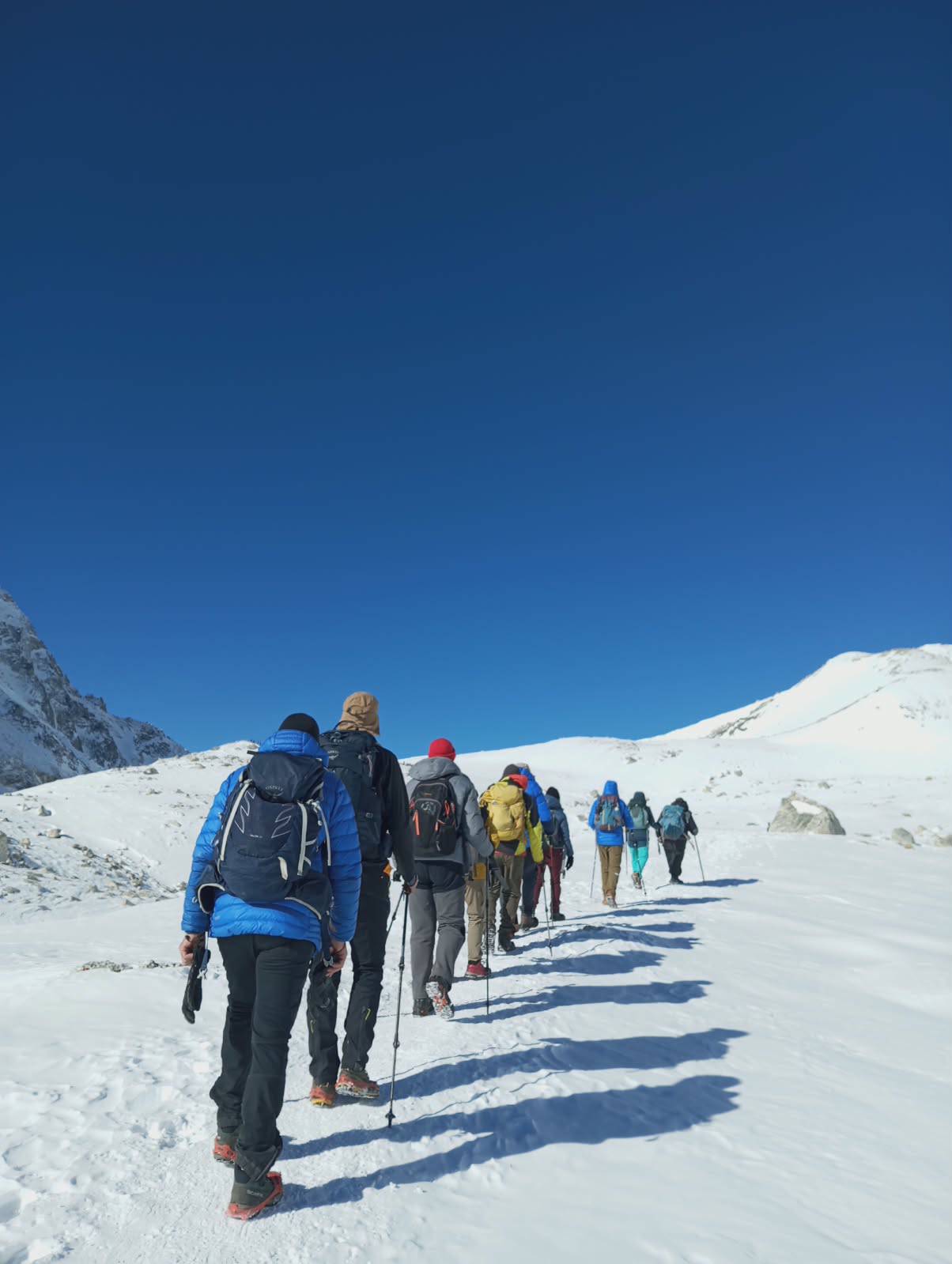
Our Autumn 2026 October Group hiking towards larke la pass
Training should be started six to eight weeks before going to Nepal. The aim is to build up stamina for walking more than anything else.
Physical Training Before the Trek
Training period
Recommended preparation
Weeks 1 - 2
Regular walking, mobility, and light strength training
Weeks 3 - 4
Stair climbing, uphill walking, and longer hikes
Weeks 5 - 6
Consecutive hiking days and downhill practice
Weeks 7 - 8
Longer hikes with a realistic daypack, followed by recovery
Always train wearing the boots and socks that you plan to use in Nepal. Badly fitting shoes can become very uncomfortable when descending to Dharapani for hours.
How Does Acclimatization Work on Our Itinerary?
Our scheduled acclimatization day is Day 8 at Samagaun. No special acclimatization day is planned in Samdo.
One thing worth considering is the 600-meter rise in sleeping altitude from Samdo to Dharamsala on Day 10. It is higher than a normally suggested one-day altitude gain of about 500 meters over 3,000 meters.
The schedule should be flexible in case of any troubles or need for extra time for adaptation. The presence of a special acclimatization day does not mean successful acclimatization for everybody.
Shoes: Well-broken-in trekking boots, Warm Socks and Good grip
Accessories: Thermal Gloves, Extra Gloves, Warm Hat & Scarf
Trekking Kit: Trekking Poles, Headtorch & Extra batteries
Sun protection: UV sunglasses, Sunscreen Lotion and SPF Lip Balm
Essentials: First Aid, Medication (if on prescription), Power Bank & Offline Map
Food/Water: Lunch box, Energy bars and 2 L of water. (Depending on individual needs and how much you can top up)
Pack your own day pack with all of these items; don’t give everything to your porter.
Why Do Trekkers Cross Larke La Pass Before Sunrise?
The key reason for leaving early from Dharamsala is the need for enough light for the way down. Leaving early, between around 3:00 AM and 5:00 AM, gives some leeway for any resting and any delays. Early morning conditions can provide a good weather window, but an early start does not ensure that the skies will be clear or the snow in good condition.
There is no general cut-off time to make it to the top. The guide must take into consideration how fast the team is going, weather forecast, daylight available, and turning-back options before leaving Dharamsala. It is a mistake to go on to make it to the pass if the team cannot descend safely from the western side.
What Mountains Can You See From Larke La Pass?
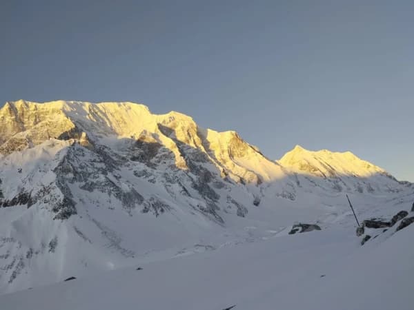
The view of the mountainscape differs during the journey. On the eastern side, trekkers are surrounded by the upper glacial region of Manaslu. The western side faces various peaks in Manang and Annapurna areas.
Major Mountain Views Around Larke La
Mountain
Altitude
Annapurna II
7,937 m
Himlung Himal
7,126 m
Kang Guru
6,981 m
Cheo Himal
6,820 m
Larkya Main
Approximately 6,416 m
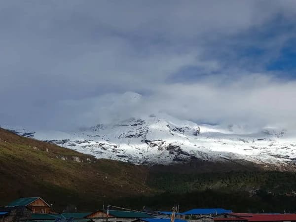
Visibility varies according to the exact point of view and the clouds and ridges that surround it. Mount Manaslu has an altitude of 8,163 meters; however, the pass may not be the best place from where you can see the entire mountain. Samagaun and Bhimthang are two other places where you can have a look at Mount Manaslu. Apart from the summits, the glaciers, moraine ridges, and western valley are the most unforgettable views of the pass.
What Happens if You Cannot Cross Larke La Pass?
Weather conditions may delay the crossing due to snow, slopes, fog, sickness or injuries.
Alternative Plans if the Pass Is Closed
Situation
Possible response
Short-term weather deterioration
Wait and reassess conditions
Dharamsala accommodation unavailable
Return toward Samdo
Heavy snow or unsafe slopes
Abandon the crossing
Altitude illness
Stop ascending; descend if symptoms worsen
Extended route closure
Retrace the eastern Manaslu route
Serious medical emergency
Arrange emergency treatment and evacuation
The possibility of spending an extra night in Dharamsala could exist depending on the availability of accommodation and whether trekkers are fit enough to stay in Dharamsala.
In cases when the situation becomes more serious, and there is a need to move down further, then it would be Samdo. There is no standard route from Dharamsala that leads directly to Bhimthang.
Are Medical Facilities, Oxygen and Helicopter Rescue Available on Larke La Pass?
There is no confirmed medical facility at Larke La. Trekkers must not expect any doctors, nurses or oxygen cylinders at the pass.
Medical and Rescue Facilities
Facility
Availability
Hospital at the pass
0
Permanent health post
None verified
Resident doctors and nurses
None verified
Dedicated operational helipad
None verified at the exact crossing
Permanently stationed rescue helicopter
None verified
Nearest documented eastern health post
Samagaun
Emergency oxygen
Depends on equipment carried by the trekking team
Mobile network
Unreliable
How Does Emergency Helicopter Rescue Work?
This guide informs the Kathmandu Operations team of the patient's condition and whereabouts. This agency works in liaison with the medical facilities, the insurance company, and the helicopter services. Direct pickup at the pass cannot be assured. Evacuation will be feasible depending on the aircraft performance, high altitudes, wind, landforms, and landing conditions of the place.
Confusion, lack of coordination, or difficulty breathing at rest are some symptoms of severe altitude sickness. Immediate help and descent need to be arranged whenever possible; there is no time to wait for the helicopter. For the selected travel route, an insurance policy that covers trekking to at least 5,500 meters or 6,000 meters in altitude will offer a margin of safety above the highest elevation. Verify the policy coverage for helicopter evacuation, altitude sickness, and hospitalization.
Larke La Pass vs Thorong La Pass vs Kang La Pass
All three crossings are above 5,000 meters, but they are within three separate trekking zones.
Feature
Larke La
Thorong La
Kang La
Altitude
5,106 m
5,416 m
5,320 m
Main trek
Manaslu Circuit
Annapurna Circuit
Nar Phu Valley
Standard approach
Dharamsala
Thorong Phedi or High Camp
Nar
Descent destination
Bhimthang
Muktinath
Ngawal
Principal challenge
Extended crossing and descent
Higher altitude
Steep, remote terrain
Trekking infrastructure
Limited
More developed
Limited
Thorong La is 310 meters higher than Larke La, but Kang La is 214 meters higher. However, that does not mean that any one pass would be more challenging for all trekkers.
Annapurna Circuit Trek is usually known for having greater infrastructure and facilities. The Manaslu route is recommended for those who would like to have an adventure in remote mountains, whereas Kang La offers the challenge of crossing a high pass in combination with unique villages of Nar and Phu.
What Is the Difference Between Larke La Pass and Larkya Peak?
Larke La Pass is a trekking pass, while Larkya Peak is a mountaineering objective in that mountain range.
Feature
Larke La Pass
Larkya Peak
Activity
Trekking
Mountaineering
Altitude
5,106 m
Depends on the specific summit
Duration
One crossing day within our circuit
Separate climbing itinerary
Equipment
Trekking gear and suitable traction
Technical climbing equipment
Climbing permit
Not required for the crossing
Required for permitted climbing objectives
Mountaineering accounts differentiate Larkya Main, with an elevation of around 6,416 meters, from other mountains with comparable names. Trekking clients who book our Manaslu Circuit package will not climb Larkya Peak. Those interested in climbing an extension must clarify the precise peak, permit issues, and difficulties.
What Permits and Additional Costs Apply to the Larke La Pass Trek?
Foreign trekkers doing the full Manaslu Circuit trek normally need three permits. There is no separate trekking entry ticket for Larke La Pass.
Manaslu Circuit Permit Fees
Permit
Applicable fee
Manaslu Restricted Area Permit, September - November
USD 100 for the first 7 days
Additional restricted-area days, September - November
USD 15 per day
Manaslu Restricted Area Permit, December - August
USD 75 for the first 7 days
Additional restricted-area days, December - August
USD 10 per day
Manaslu Conservation Area Permit
NPR 3,000
Annapurna Conservation Area Permit
NPR 3,000
This charge is applicable based on the time spent within this particular region rather than the entire period of 14 days.
Can Solo Trekkers Cross Larke La Pass in 2026?
Solo travelers who are foreigners can apply for a permit for this area via a trekking agency registered in Nepal. On 22 March 2026, the Department of Immigration in Nepal amended the permit regulations. The primary amendment was that the minimum number of international tourists increased to two people. Guides are mandatory, and there is a maximum of seven people with one guide.
Can You Cross Larke La Pass in Reverse From Bhimthang?
Yes. The reverse itinerary starts from the Manang side, going from Bhimthang to Larkya La and down to Dharamsala. The difference is that the climb from Bhimthang is 1,516 meters high, while only 646 meters from Dharamsala. Also, a reverse itinerary ends at a higher sleeping altitude.
That is why we follow the traditional counter-clockwise direction in our itinerary. We have easy access to the Manaslu villages and end the day of crossing with a lower sleeping altitude. Reverse directions need different acclimatization schedules.
How to Book Our 14-Day Manaslu Circuit Trek With Larke La Pass
Our 14-day Manaslu Circuit trek begins and ends in Kathmandu and features the trekking route via the Budhi Gandaki Valley, acclimatization at Samagaun, Larkya La pass crossing, and the way back from Dharapani.
Make sure to check all the travel dates, physical fitness, equipment requirements, guides’ availability, and insurance coverage before booking. Those tourists who would like to take it easier can inquire about extra acclimatization days at Samdo and overnight stay between Bhimthang and Dharapani.
Our typical trekking itinerary does not have these extra days. Two days of buffer before the international departure is recommended in case of this 13th day involving quite a long road journey. For more details concerning the whole package, please see our Manaslu Circuit Trek 14 Days.
Frequently Asked Questions About Larke La Pass
Is the Larke La the highest Pass in Nepal?
No. Although there are many higher passes in Nepal. The Larke La is the highest point on the traditional Manaslu Circuit Trek.
Can you see Mount Everest from the Larke La Pass?
No. While Mount Everest isn’t an officially sighted mountain from the pass, you will see beautiful views of Manaslu and Annapurna ranges.
Is there a toilet available at the Larke La Pass?
There is no reliable Toilet available. It is best to go to the toilets prior to embarking on your journey.
Is mobile Internet available at the Larke La Pass?
Mobile coverage is unreliable. You will need to download all required maps and documents prior to leaving the villages.
Can children walk across the Larke La Pass?
Yes. Older children who are fit, can cope with high altitudes, and are medically able to undertake the trek. It would be wise to assess their ability to walk for consecutive days.
Can we camp overnight at the Larke La Pass?
No. We do not have any planned camping at the pass itself. Usually we have overnight stays in Dharamsala and Bhimthang.
Can we do both the Larke La and Thorong La on one trek?
Yes. Long treks will combine the Manaslu and Annapurna loops together. We will need extra permits, acclimatisation time and extra trek days.
Will we be able to hire trekking poles or microspikes in Dharamsala?
We can’t rely on being able to hire equipment in Dharamsala. We recommend you get the correct equipment in Kathmandu prior to your trek.
Is it legal to fly a drone at the Larke La Pass?
You will need to get the correct permissions from Nepal. This includes restricted and conservation areas. You won’t be allowed to use a Drone with your regular Trekking permit.
How long does it take to drive from Dharapani to Kathmandu?
Allow a full travel day. Usually between 8-12 hours depending on the road conditions, traffic and whether you will be getting settled into your vehicles.
Manaslu Circuit Larkey pass Trek start from Barpak (Epicenter of Earthquake 2015), samagaun, monasteries , Tibet boarder and Larkey Pass